
Toya-Usu UNESCO Global Geopark
A geopark where visitors enjoy nature, culture, food and the awesome power of volcanoes

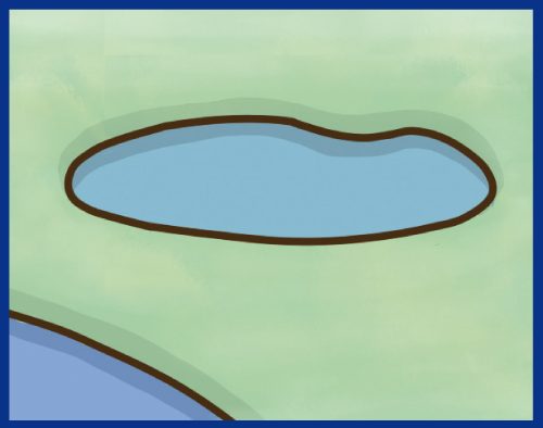
The Toya-Usu UNESCO Global Geopark is a geopark with Lake Toya at its center. Look for the donut shape on a map of Hokkaido. You’ll find a donut-shaped lake (10 km in diameter) in southwestern Hokkaido. This is Lake Toya.
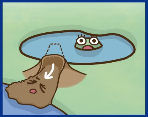
Surrounded by mountains, the lake resembles a large pot. Approximately 110,000 years ago, an eruption caused a huge depression to form, and the lake formed when the depression filled with precipitation. Such a lake is called a caldera lake.
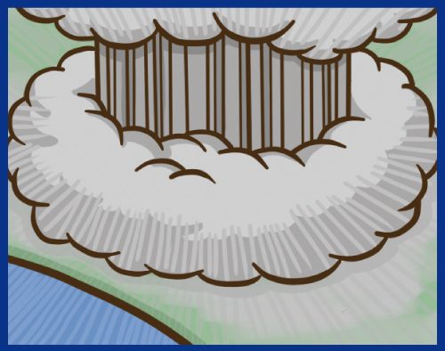
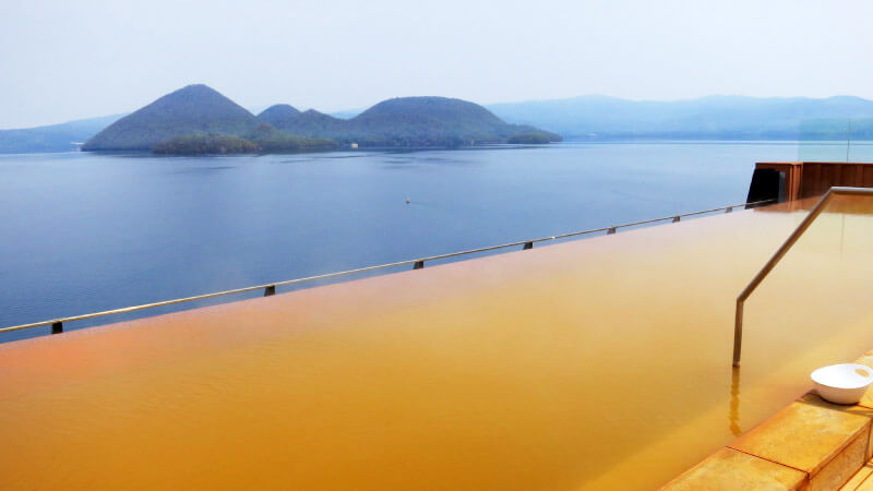
At the center of Lake Toya is an uninhabited island called Nakajima, which consists of several large and small hills. Nakajima Island was also shaped by repeated eruptions approximately 50,000 years ago. The differently shaped hills are the lava domes that formed when lava pushed up from underground.
History of Toya Caldera and Usu Volcano
About 110000 years ago
Occurrence of a massive pyroclastic flow
Formation of Toya caldera
Lake Toya was formed.
It took a long period of time for the depression to be filled with precipitation.
About 45000 years ago
Formation of Nakajima island(domes)
About 20000-10000 years ago
Birth of Mt. Usu stratovolcano
About 10000 years ago
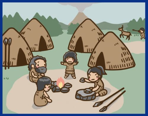
People around Lake Toya
Used stone tools
About 8000 years ago
Collapse forming debris avalanche deposit
Mt.Usu lost its summit and entered into a period of dormancy.
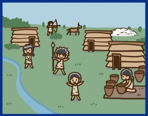
The Jomon culture thrived
Villages and shell mounds were formed.
The Ainu culture thrived

1663 Reawakening & Large eruption
Some casualties.

Around the end of 17th century
No written records,but volcanic deposits found.
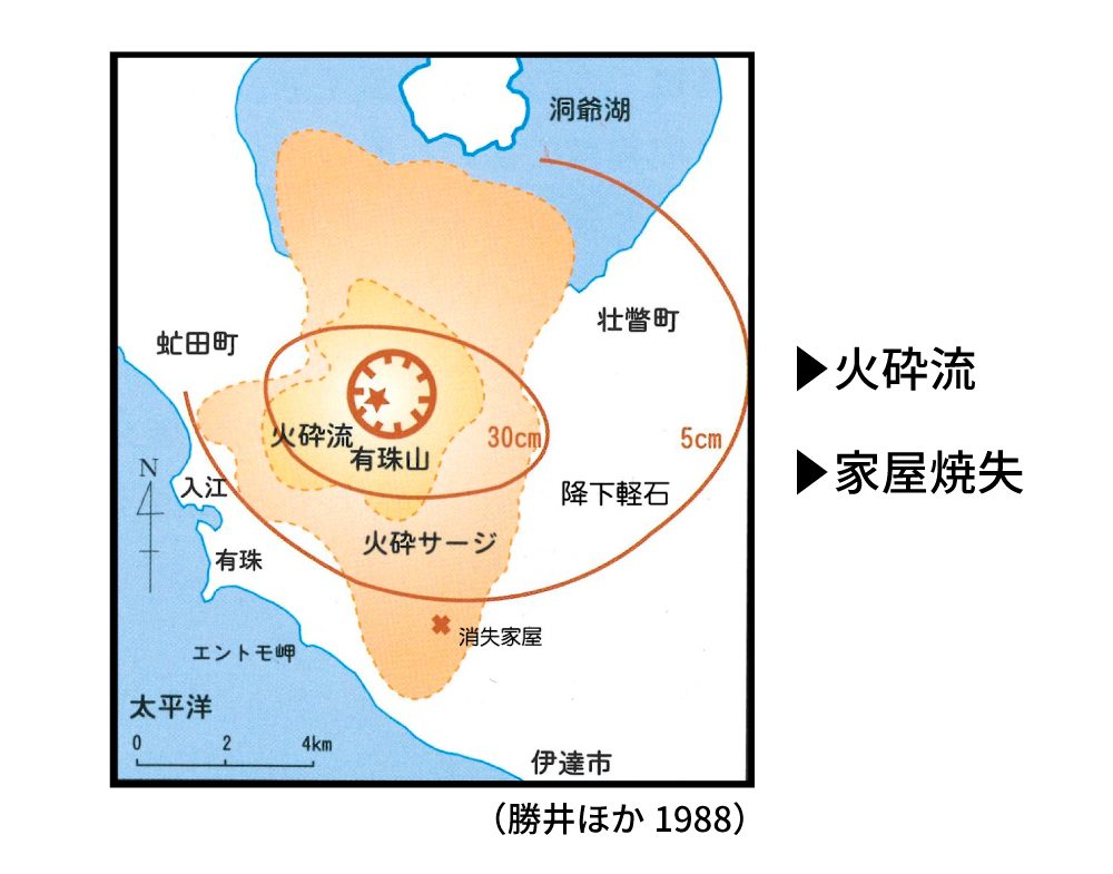
1769 Pyroclastic flow eruption
Some houses burned.
The birth of Ogariyama cryptodome.
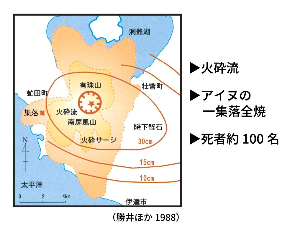
1822 Major pyroclastic flow eruption
The birth of ko-Usu lava dome.
Approx 100 casualties,settlement relocated.
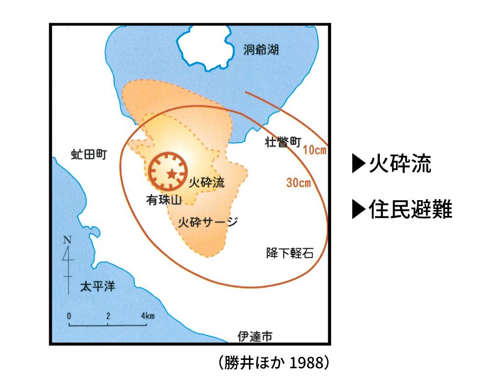
1853 Pyroclastic flow eruption
The birth of O-Usu lava dome.
Residents evacuated.
1910 Eruption at the northwestern flank
The birth of Meiji-Shinzan cryptodome.
1 casualty from hot lahar.
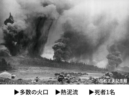
1943-45 Eruption at the eastern flank
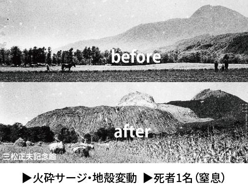
The birth of Showa-Shinzan lava dome.
Mimatsu diagram
1 casualty from ash fall.
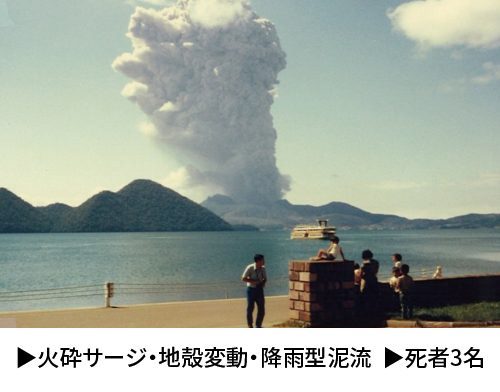
1977-78 Eruption at summit
Birth of Usu-Shinzan cryptodome.
3 casualties from lahar.
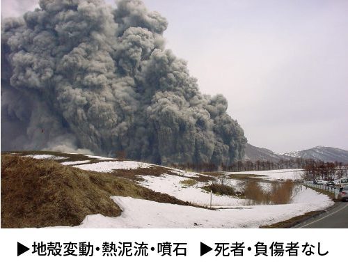
2000 Eruption at the western flank
The birth of 2000 Shinzan.
No injuries or casualties due to successful evacuation.
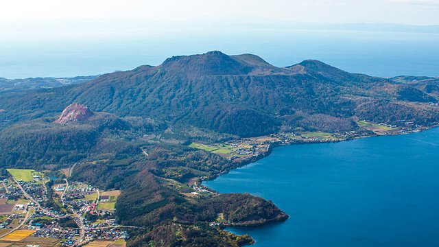
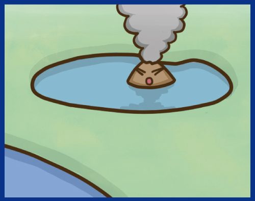
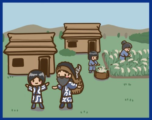
South of Lake Toya is Mt. Usu, an active volcano. Its fumarolic gas, bare rock and awesome traces of eruptions convey the might of the volcano. Mt. Usu has erupted at least nine times since 1663 – four times in the 20th century alone (1910, 1944 – 1945, 1977 – 1978, 2000). Near the summit and the base, visitors can see the many craters that have formed from the repeated eruptions.
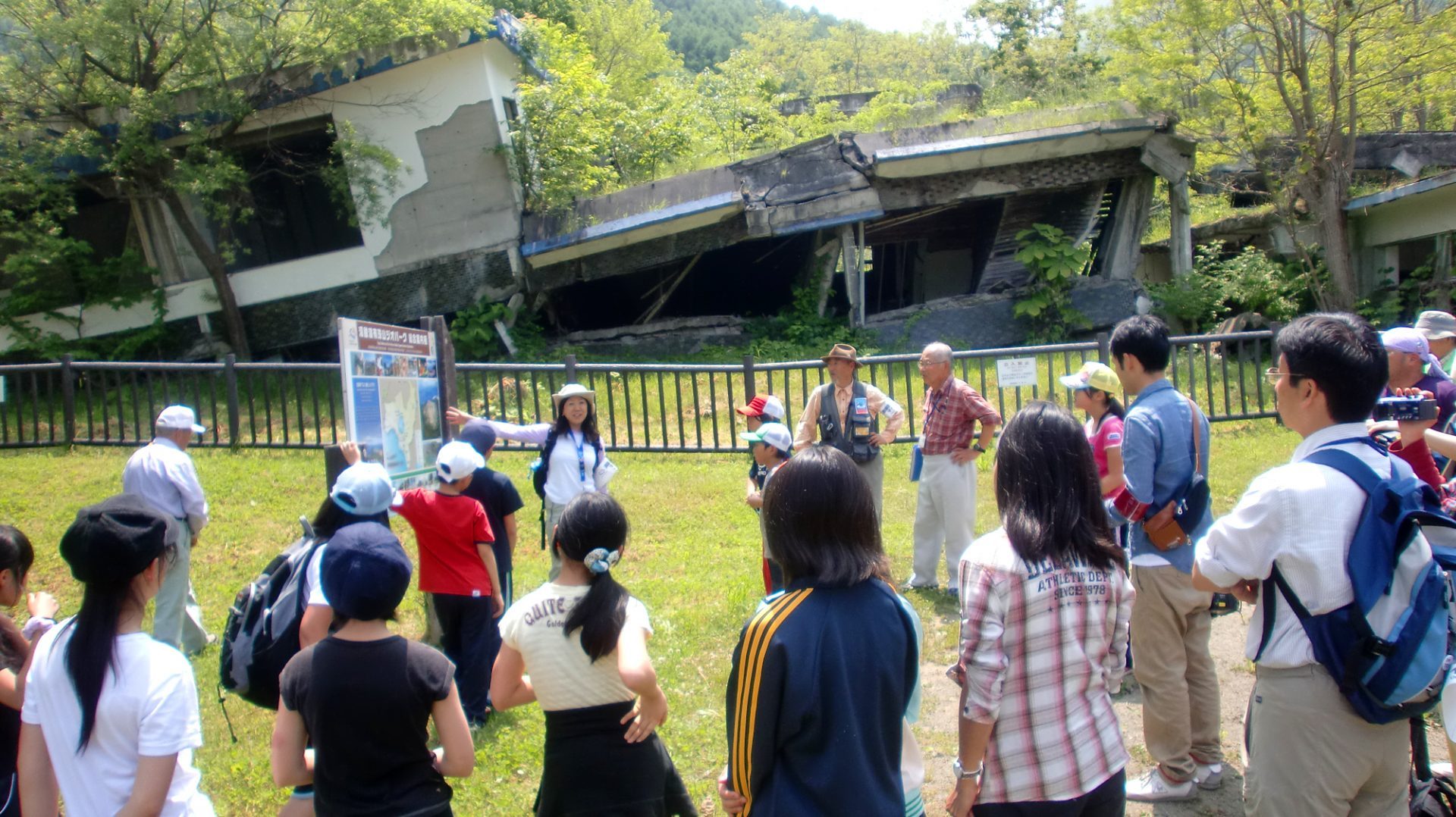
The most notable characteristic of the Toya-Usu Unesco Global Geopark lies in the fact that people have been living in the shadow of this active volcano. From time to time, craters and faults would form in the town and new hills would be created. Eruptions have caused various disasters and have affected people’s lives. To keep the memories of these disasters from fading, buildings and roads damaged by eruptions have been protected as disaster traces, and a walking path has been built to give visitors access to these.
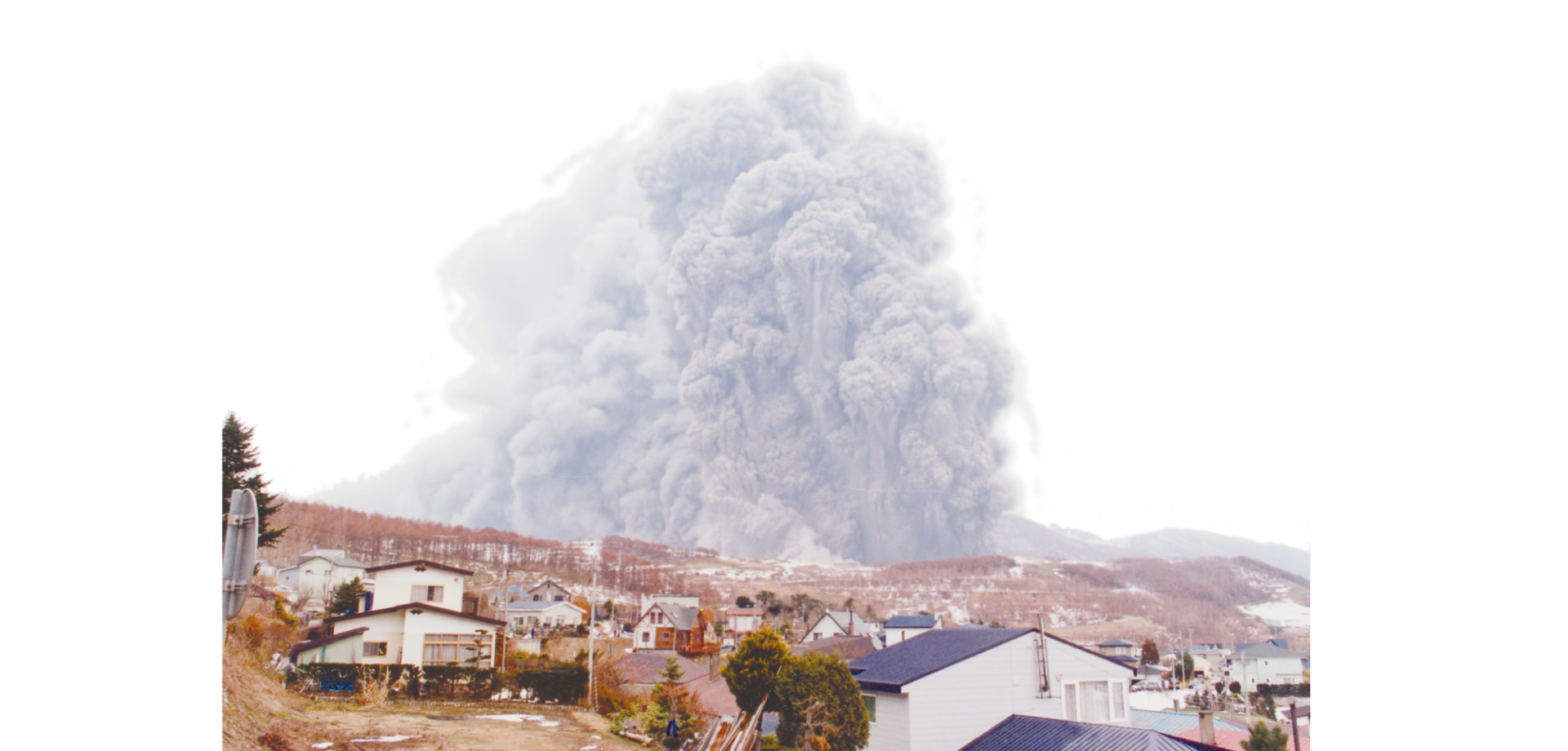
The 2000 Eruption
This eruption occurred at the foot of the mountain.
Despite the proximity to a national route and houses, there were no direct casualties.
The early detection of eruption signs made it possible for residents to evacuate beforehand.
Why have people continued to live in an area where eruptions occur?


People live here because they’ve benefitted from these volcanic blessings.
People in this area will have to keep thinking about how they can live with the volcano. To keep living here, they must prepare for eruption disasters. What distinguishes the area are tours that are guided by people who are knowledgeable about volcanoes and who can talk about natural disasters and disaster mitigation. In light of this, the area has earned high acclaim and has been designated as a UNESCO Global Geopark.

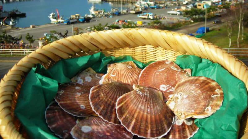
Taking in views created by the volcano, eating delicious food that owes to volcanic blessings, soaking in a hot spring and thinking of the earth, our home: These are some ways to enjoy the Toya-Usu UNESCO Global Geopark.